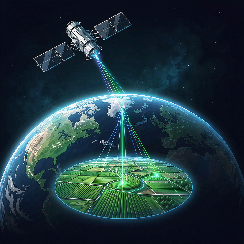
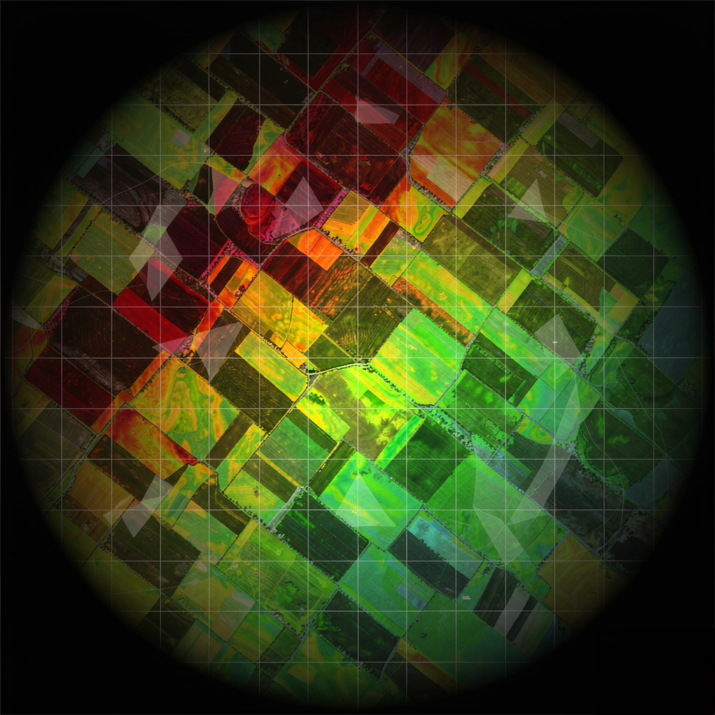
Satellite Remote Sensing
- Multispectral crop-health maps (NDVI & beyond)
- Early detection of stress, pests and disease
- Field-by-field growth tracking across the season
- Scout from the office — no truck, no guesswork
SATELLITE REMOTE SENSING · GROUND SENSOR NETWORKS
SunRise moves advanced agtech across borders — pairing satellite eyes in the sky with sensors in the soil, so every farm can see, decide and grow smarter.
Our Purpose
Bring advanced agricultural technology across borders, benefiting every farm.
Become the world's leading hub for agricultural technology circulation, making smart and precision agriculture the standard for farms everywhere.
What We Deliver
Satellites watch from above. Sensors listen below. Together they give growers a live, field-level understanding of crop health — before problems become losses.
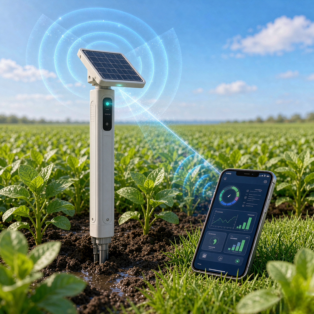
Satellite imagery and ground data fuse into a single dashboard — thresholds, trends and task lists your team can actually act on.
How It Works
Satellites pass over your fields and capture multispectral imagery on schedule.
In-soil sensors and weather stations ground-truth every reading, hour by hour.
Data is fused into crop-health maps, trends and early-warning alerts.
Irrigate, treat and fertilize with precision — then measure the yield response.
Our Values
Advanced agtech should cross borders so every farm shares in its benefits.
We grow together with dealers, partners and farmers — shared work, shared reward.
Technology must not only be advanced — it must be affordable, usable and truly effective.
Dependable products and localized service earn trust that lasts for seasons.
Smart and precision agriculture must create real, measurable value.
Moving advanced agtech to every acre on earth.
Partner With UsGet In Touch
Tell us about your farm, your region or your distribution plans. We reply within two business days.
Tel / WhatsApp: +86 136 5758 3287